Üsseres Barrhorn
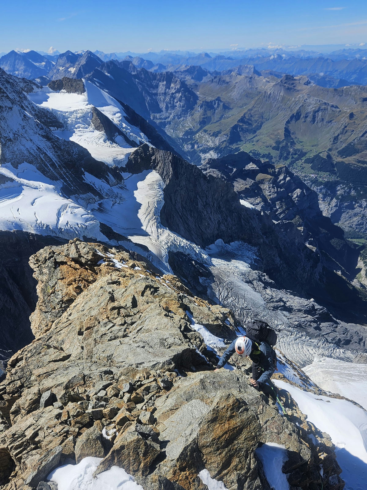
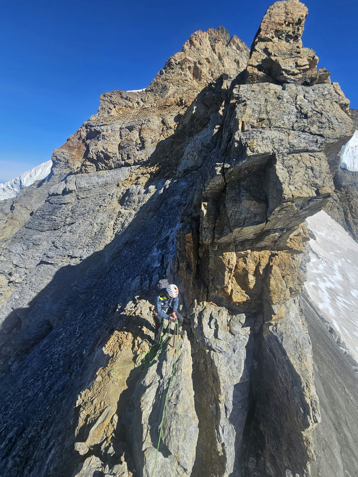
Climb & FlyThe route is strait forward with changing lanscapes. In spring the snow could make some traverse difficult. Call the hut (Tourtmannhütte) for infos.
Öffentliche Flüge aus dem Community-Flugbuch — echte Aufstiege, echte Flüge, geteilt von den Piloten, die sie geflogen sind.
Werte aus der GPS-Spur neu berechnet
The route is strait forward with changing lanscapes. In spring the snow could make some traverse difficult. Call the hut (Tourtmannhütte) for infos.
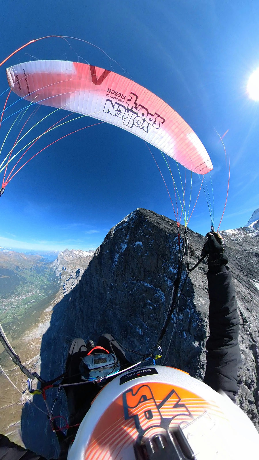
Conditions were perfect, 5-10km/h wind at the take-off. The flight in front of the Eiger-Northface was impressive. Landing in Grindelwald.
Das ist im Moment alles — bald kommen mehr Flüge.
Diese Wand lebt von Piloten wie dir — dein nächster Flug gehört hierher.
Importiere deinen Track
Lade eine IGC- oder GPX-Datei von deinem Vario oder Handy hoch — der Track ist in Sekunden in deinem Flugbuch.
Stelle ihn auf öffentlich
Ein Schalter macht deinen Flug auf dieser Wand sichtbar — mit Track, Profil und Fotos.
Dein Profil entsteht
Deine Flüge sammeln sich auf deinem Pilotenprofil — deine Gipfel, deine Statistiken, deine Sends.