My Logbook

Send It!

Public flights from the community logbook — real climbs, real flights, shared by the pilots who flew them.

Stats recalculated from the GPS track

markuslegusFounding pilot
· Switzerland

Üsseres Barrhorn

Climb & Fly
Summit 3,610 mVertical 1,150 mDistance 11.5 kmDuration 17 min

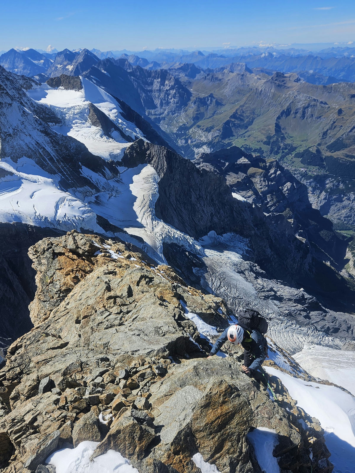
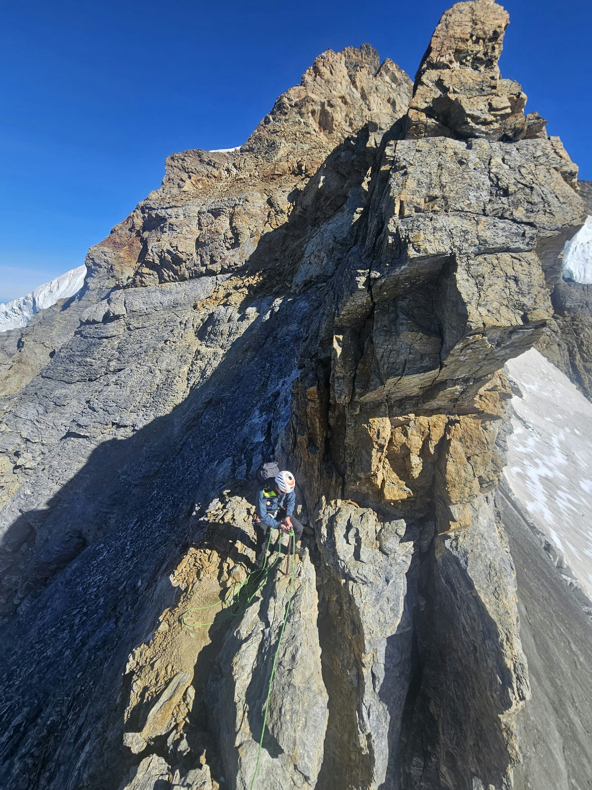
The route is strait forward with changing lanscapes. In spring the snow could make some traverse difficult. Call the hut (Tourtmannhütte) for infos.
Flight page →
Seil___airFounding pilot
· Switzerland

Mönch

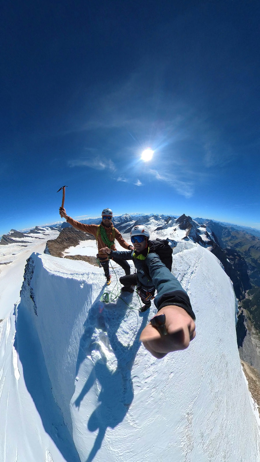
Summit 4,110 mVertical 3,060 mDistance —Duration 35 min
Mönch
Mönch
Mönch
Mönch

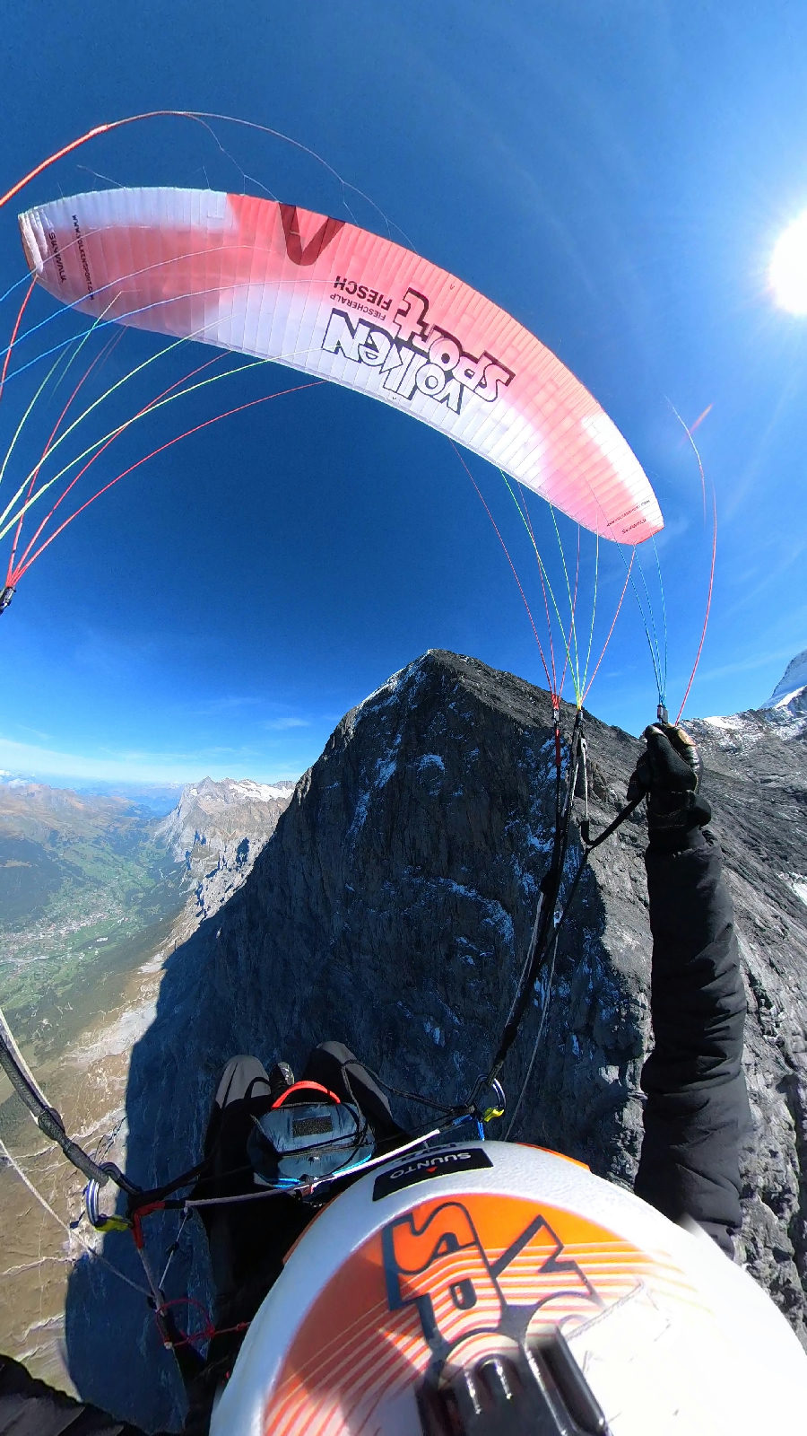
Conditions were perfect, 5-10km/h wind at the take-off. The flight in front of the Eiger-Northface was impressive. Landing in Grindelwald.

Flight page →

Log your first flight

This wall is fed by pilots like you — your next flight belongs here.

  1. 1

    Import your track

    Drop an IGC or GPX file from your vario or phone — the track lands in your logbook in seconds.

  2. 2

    Set it public

    One switch makes your flight visible on this wall, with its track, profile and photos.

  3. 3

    Get your profile

    Your flights gather on your pilot profile — your summits, your stats, your sends.

Open my logbook