markuslegusFounding pilot
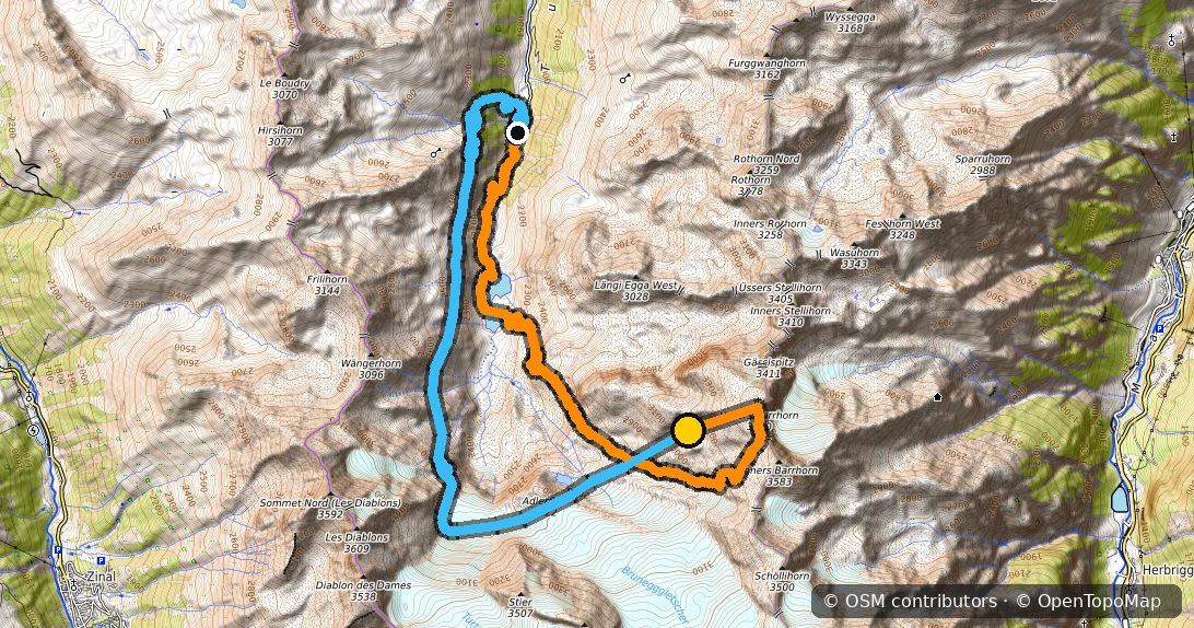
Üsseres Barrhorn
Summit 3,610 mVertical 1376 mDistance 11.5 kmDuration 17 min
CLIMBFLIGHT
MAP
Climb & Fly — The Spot Map
Climb & fly spots around the world: summits to climb, launches, landings and — most importantly — how to get up there. Cable car, mountain train, overnight in a hut or 100% on foot: each spot card gives the launch GPS and the smartest way up — from the Alps to the Appalachians, the Japanese Alps, the Himalaya and Kilimanjaro.
Explore the spots ↓400+ summits, one principle: hike up, fly down. From the Alps to the Appalachians, the Himalaya and Kilimanjaro. Filter, zoom in, pick your next launch.
Indicative information only — only official sources (AIP/SIA) are authoritative. This layer is not a navigation aid: always check the current AIP and NOTAM before flying.
Airspace data: SIA (AIP France), updated 2 Oct 2026 · GeoJSON compilation: FFVP / planeur-net · Boundaries simplified for display.

Accounts let you add photos and comments to the spots — every contribution is moderated before it appears.
Enter your account email — we will send you a link to set a new password.
Loading your flights…
Flight logged — nice one!